"When we heard the gunshots, we did not believe that they were real bullets. We thought they were shooting up in the air, and we just didn’t believe that the bullets could be real.”
These are the final words in a recorded clip from Naomi Goleman Etzkin, who was a student on May 4, 1970 and near the Pagoda when the shooting occurred. She recorded her experience for the Oral History Project, which is part of the Kent State Shootings: May 4 Collection in Kent State University Libraries’ Special Collections and Archives.
Though the tragic events of that day have been documented in myriad ways, a new project, Mapping May 4, is attempting to tell the stories of those who experienced it in a new, more immersive way.
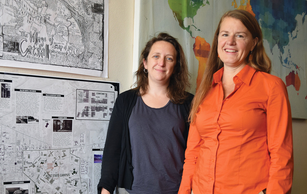
Jennifer Mapes, PhD, associate professor of geography, and Sara Koopman, PhD, assistant professor in the School of Peace and Conflict Studies, spearheaded the project for Mapping May 4.
They analyzed 139 oral histories collected in the Oral History Project to find specific locations. These stories became the framework for the “geonarratives” that tell individuals’ stories in the context of the space and time in which they occurred.
The Mapping May 4 web app has an interactive aerial map of the Kent Campus as it was in May 1970. Small black circles appear throughout the map with stories told by people who experienced the events of that weekend. The circles are plotted by location to capture the memories associated with a place, such as residence halls, local businesses, bars and restaurants.
Koopman and Mapes received a $20,000 grant from Ohio Humanities to continue collaborating with Kent State Special Collections and Archives on the second phase of the project.
The grant supports the creation of a location-aware mobile app, designed by Each + Every, a Kent design studio, with a curated tour of sites on campus and downtown, as well as wall-sized, map-based exhibits for the May 4 Visitors Center and Kent State Historical Society.
So far, the site features 216 audio clips from 116 different locations, including recollections of students, faculty, Ohio National Guardsmen, local business owners and residents of Kent.
These clips are searchable by date, name, role or location. Visitors to the site may upload their own stories (text or audio) and photos, and those visiting Kent in person can use their mobile device to take one of four short walking tours in the city or campus.
A tragedy such as May 4 leaves deep wounds. Even 50 years later, groups remain staunchly divided over the event. At times, the oral histories may seem to contradict each other. But often, say Koopman and Mapes, the stories show more similarities than differences in the shared trauma of those who lived in Kent in May, 1970.
"Our hope is that, connecting through place, people might be able to connect across difference.”
—Sara Koopman, PhD
“Our hope is that, connecting through place, people might be able to connect across difference,” Koopman says. “It’s also an attempt to open another way for dialogue to help build reconciliation and broader understanding.”
—Bethany Sava, BS ’12