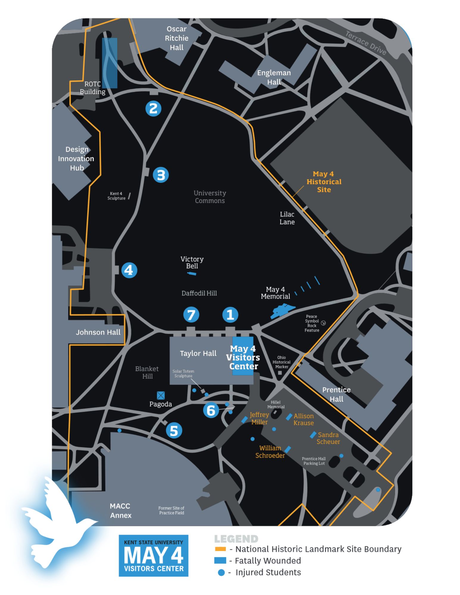
Map of Kent State University campus showing buildings, walkways, and roads in relation to the May 4 National Historic Landmark Site. A highlighted boundary outlines the historic area. Numbered blue circular markers identify specific locations where students were injured, and separate symbols indicate locations where students were fatally wounded, as explained in the legend. Key sites labeled on the map include the May 4 Visitors Center, Taylor Hall, Blanket Hill, Victory Bell, Johnson Hall, and University Commons.